Global mangrove soil carbon: dataset and spatial maps
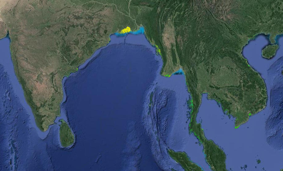
Model outputs were updated on Dec 20, 2017. This project used a machine learning data-driven model to predict the distribution of soil carbon under mangrove forests globally. Specifically this dataset contains: 1) a compilation of georeferenced and harmonized soil profile data under mangroves compiled from literature, reports and unpublished contributions 2) global mosaics of soil carbon stocks to 1m and 2m depths produced at 100 m resolution 3) tiled predictions of soil carbon stocks produced at 30 m resolution 4) shape file containing the tiling system 5) shape file containing country boundaries used for calculating national level statistics.
For detailed methodologies, please see the scientific paper ( https://doi.org/10.1088/1748-9326/aabe1c).
Simple
- Date (Publication)
- 2017-06-28
- Citation identifier
- 31769934-038c-4873-ab14-4b6b66531103
- Citation identifier
- doi: / 10.7910/DVN/OCYUIT
- Presentation form
- Digital map
- Status
- Completed
- Point of contact
-
Organisation name Individual name Electronic mail address Role Woods Hole Research Centre
Jonathan Sanderman
Point of contact ISRIC - World Soil Information
Tom Hengl
None
Author
- Theme
-
-
carbon
-
soil profiles
-
-
Stratum
-
-
Soil science
-
-
Region
-
-
Australia
-
Bangladesh
-
Belize
-
Benin
-
Brazil
-
Cameroon
-
China
-
Colombia
-
Costa Rica
-
Dominican Republic
-
Ecuador
-
Egypt
-
El Salvador
-
French Guiana
-
Guadeloupe
-
Honduras
-
Hong Kong
-
India
-
Indonesia
-
Madagascar
-
Malaysia
-
Mexico
-
Micronesia
-
Mozambique
-
New Zealand
-
Nigeria
-
Palau
-
Panama
-
Philippines
-
Saudi Arabia
-
Singapore
-
South Africa
-
Sri Lanka
-
Taiwan
-
Thailand
-
United States
-
Vietnam
-
- Access constraints
- License
- Use constraints
- License
- Other constraints
-
CC0 1.0 Universal (CC0 1.0) Public Domain Dedication, https://creativecommons.org/publicdomain/zero/1.0/deed.en
- Spatial representation type
- Grid
- Distance
- 30 m
- Language
- English
- Character set
- UTF8
- Topic category
-
- Geoscientific information
- Begin date
- 1969-01-01
- End date
- 2015-09-01
))
- Reference system identifier
- EPSG / 4326
- Distribution format
-
Name Version zip
- Distributor contact
-
Organisation name Individual name Electronic mail address Role Woods Hole Research Centre
xx
Distributor
Digital transfer options
- OnLine resource
-
Protocol Linkage Name WWW:LINK-1.0-http--related
https://dataverse.harvard.edu/dataset.xhtml?persistentId=doi:10.7910/DVN/OCYUIT Project webpage
WWW:LINK-1.0-http--related
https://doi.org/10.1088/1748-9326/aabe1c Scientific paper
- Hierarchy level
- Dataset
Metadata
- File identifier
- 31769934-038c-4873-ab14-4b6b66531103 XML
- Metadata language
- English
- Character set
- UTF8
- Hierarchy level
- Dataset
- Hierarchy level name
-
dataset
- Date stamp
- 2024-11-27T10:08:58
- Metadata standard name
-
ISO 19115:2003/19139
- Metadata standard version
-
2003/Cor.1:2006
- Metadata author
-
Organisation name Individual name Electronic mail address Role ISRIC - World Soil Information
Data infodesk
Point of contact
)))
