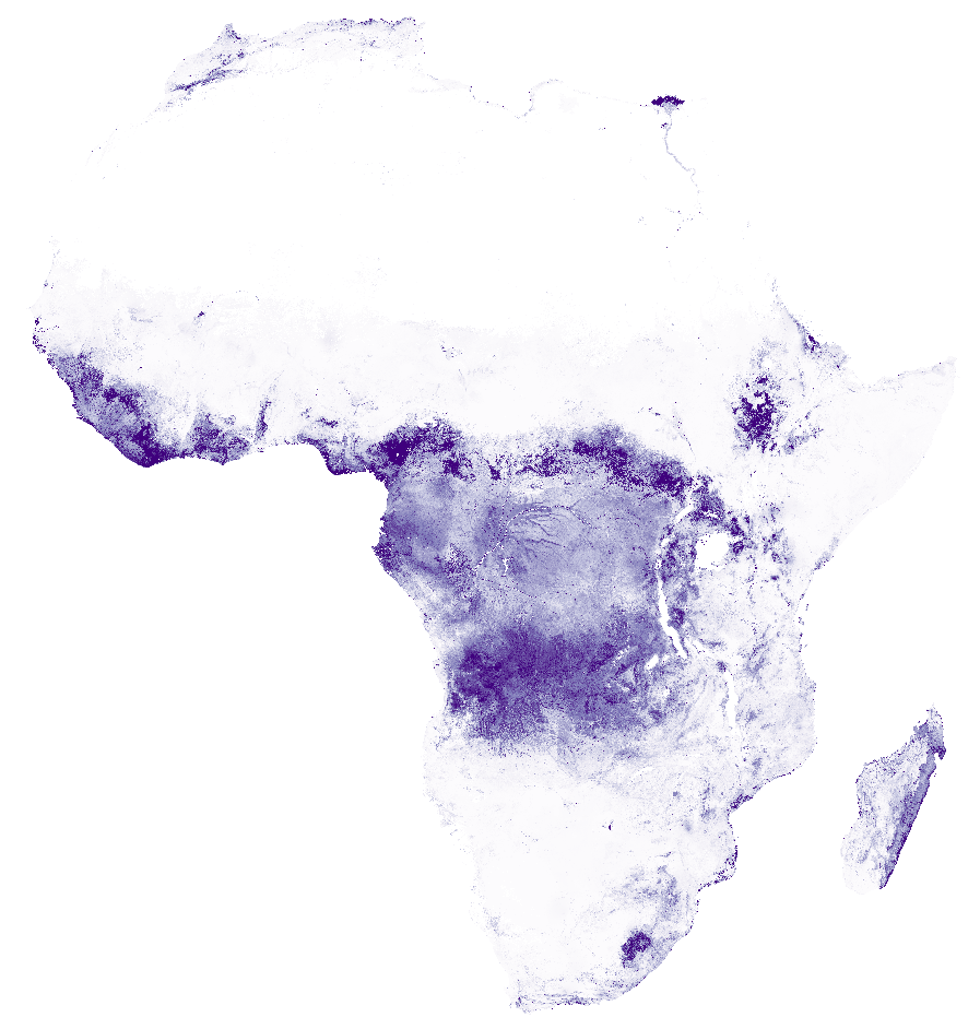
Africa SoilGrids - Exchangeable acidity (H+Al)
Exchangeable acidity (H+Al measured in 1M KCl) in cmolc/kg (fine earth) at 6 standard depths predicted using two sets of Africa soil profiles data. For details see published paper here below (Hengl T., G.B.M. Heuvelink, B. Kempen, J.G.B. Leenaars, M.G. Walsh, K.D. Shepherd, A. Sila, R.A. MacMillan, J. Mendes de Jesus, L.T. Desta, J.E. Tondoh, 2015. Mapping Soil Properties of Africa at 250 m Resolution: Random Forests Significantly Improve Current Predictions. PLoS ONE 10(6)
Simple
- Date (Publication)
- 2015-02-10
- Citation identifier
- 31d3e559-051a-48be-854b-9bcb1b4bc5c3
- Presentation form
- Digital map
- Status
- Completed
- Point of contact
-
Organisation name Individual name Electronic mail address Role ISRIC - World Soil Information
Johan Leenaars
Author ISRIC - World Soil Information
Tom Hengl
None
Author
- Theme
-
-
exchangeable acidity
-
digital soil mapping
-
-
Stratum
-
-
Soil science
-
-
Region
-
-
Africa
-
- Access constraints
- License
- Use constraints
- License
- Other constraints
-
Attribution-NonCommercial 3.0 International (CC BY-NC 3.0), https://creativecommons.org/licenses/by-nc/3.0/
- Spatial representation type
- Grid
- Distance
- 250 m
- Language
- English
- Character set
- UTF8
- Topic category
-
- Geoscientific information
- Begin date
- 1960-01-01
- End date
- 2015-12-31
))
- Reference system identifier
- proj4 / +proj=laea +lat_0=5 +lon_0=20 +x_0=0 +y_0=0 +datum=WGS84 +units=m +no_defs
- Distribution format
-
Name Version GTiff
Digital transfer options
- OnLine resource
- Hierarchy level
- Dataset
- Statement
-
Project webpages: http://africasoils.net/
http://isric.org/projects/africa-soil-information-service-afsis
Soil data (1): http://isric.org/projects/africa-soil-profiles-database-afsp
Not included: Soil data (2): http://africasoils.net/services/data/soil-databases/
Metadata
- File identifier
- 31d3e559-051a-48be-854b-9bcb1b4bc5c3 XML
- Metadata language
- English
- Character set
- UTF8
- Hierarchy level
- Dataset
- Hierarchy level name
-
dataset
- Date stamp
- 2021-07-14T11:51:49
- Metadata standard name
-
ISO 19115:2003/19139
- Metadata standard version
-
2003/Cor.1:2006
- Metadata author
-
Organisation name Individual name Electronic mail address Role ISRIC - World Soil Information
Data infodesk
Point of contact
)))
