ISRIC Soil Information System (ISIS)
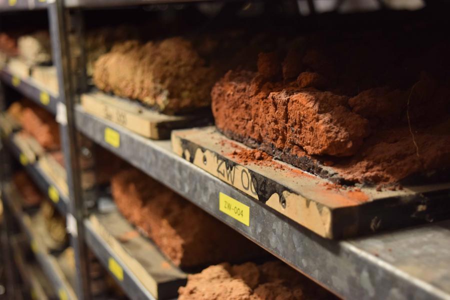
ISRIC Soil Information System (ISIS) brings the ISRIC World Soil Reference Collection on-line and characterizes a collection of monoliths with morphological, analytical data (chemical and physical) that represent the main soil groups of the World. ISIS holds data on the World Soil Reference Collection including over 950 monoliths from over 74 countries with detailed soil profile and environmental data. The collection provides a scientific reference for the legend of the FAO_UNESCO Soil Map of the World and internation soil classification system that evolved from it, the World Reference Base for Soil Resources (WRB) and other international systems (USDA Soil Taxonomy).
Users currently have access to site data (60 attributes on location, geology, landform, soil surface properties, hydrology, land-use, vegetation and climate) and soil data (soil profile description according to the FAO Guidelines; 100 physical, chemical and mineralogical attributes; and attributes for classification in the FAO-Unesco Legend (1974), the Revised FAO-Unesco Legend (1988), World Reference Base for Soil Resources (all versions), USDA Soil Taxonomy, and a national classification system, as available). ISRIC will continue to enlarge its soil reference collection.
Simple
- Date (Publication)
- 1990-06-01
- Citation identifier
- ISRIC-ISIS-v3
- Presentation form
- Digital table
- Purpose
-
The collection was built up to show representative examples of the units distinguished in the legend of the soil map of the world. These reference profiles – or soil monoliths - would be well documented and analysed and therewith be an example and a resource for education, correlation and research
- Status
- Completed
- Point of contact
-
Organisation name Individual name Electronic mail address Role ISRIC - World Soil Information
Stephan Mantel
Custodian
- Theme
-
-
monolith
-
world reference base
-
-
Stratum
-
-
Soil science
-
-
Region
-
-
Global
-
- Access constraints
- Other restrictions
- Use constraints
- Other restrictions
- Other constraints
- Open Database License (ODbl) v1.0
- Spatial representation type
- Vector
- Distance
- 10 m
- Language
- English
- Character set
- UTF8
- Topic category
-
- Geoscientific information
- Begin date
- 1950-01-01
- End date
- 2015-12-01
))
- Reference system identifier
- EPSG / 4326
- Distribution format
-
Name Version GraphQL
Digital transfer options
- OnLine resource
-
Protocol Linkage Name download
https://graphql.isric.org/isis/graphql graphql endpoint
WWW:LINK-1.0-http--link
https://graphql.isric.org/isis/graphiql User interface
WWW:LINK-1.0-http--link
https://isis.isric.org Website
- Hierarchy level
- Dataset
- Statement
Metadata
- File identifier
- 509ad644-efd3-4ac1-b663-550532a27ea0 XML
- Metadata language
- English
- Character set
- UTF8
- Hierarchy level
- Dataset
- Hierarchy level name
-
dataset
- Date stamp
- 2025-10-16T13:35:50
- Metadata standard name
-
ISO 19139
- Metadata standard version
-
2007
- Metadata author
-
Organisation name Individual name Electronic mail address Role ISRIC - World Soil Information
Stephan Mantel
Point of contact
)))
