Soil and Terrain Database (SOTER) for Upper Tana River Catchment, version 1.1
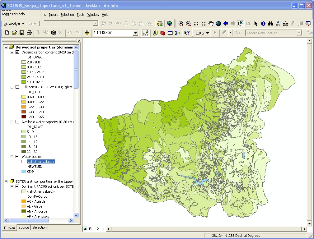
The Soil and Terrain database for the Upper Tana River Catchment (version 1.1) (SOTER_UT_v1.1) at scale 1:250,000 was compiled to support the Green Water Credits (GWC) programme by creating a primary SOTER dataset for a hydrology assessment of the basin. The Kenya Soil Survey of the Kenya Agriculture Research Institute(KARI-KSS) and ISRIC-World Soil Information compiled the SOTER_UT dataset ... according to the standard SOTER methodology. The dataset includes both data of the original KENSOTER database (1:1M) for the Upper Tana Catchment and, new SOTER units and soil profile data taken from other, existing soil surveys mainly at scale 100,000 and from more detailed studies.
The SOTER database was used for the hydrology assessment of Upper Tana basin using the model Soil and Water Assessment Tool (SWAT)to quantify the impact of land management practices change in the basin's waterbalance.
Simple
- Date (Publication)
- 2011-09-01
- Citation identifier
- ce32091e-006d-4438-8e03-cf7b4c500df7
- Presentation form
- Digital map
- Status
- Completed
- Point of contact
-
Organisation name Individual name Electronic mail address Role ISRIC - World Soil Information
Bas Kempen
Point of contact ISRIC - World Soil Information
J.A. Dijkshoorn
None
Author ISRIC - World Soil Information
Jan R.M. Huting
None
Author
- Theme
-
-
calcium
-
carbon
-
cation exchange capacity
-
electrical conductivity
-
nitrogen
-
organic matter
-
bulk density
-
soil profiles
-
pH
-
salinity
-
texture
-
water holding capacity
-
nutrients
-
-
Stratum
-
-
Soil science
-
-
Region
-
-
Africa
-
East-Africa
-
Kenya
-
Tana River
-
- Access constraints
- License
- Use constraints
- License
- Other constraints
- Attribution 3.0 International (CC BY 3.0)
- Spatial representation type
- Vector
- Denominator
- 250000
- Language
- English
- Character set
- UTF8
- Topic category
-
- Geoscientific information
- Begin date
- 1972-01-01
- End date
- 2003-03-01
))
- Reference system identifier
- EPSG / 4326
- Distribution format
-
Name Version zip
Digital transfer options
- OnLine resource
-
Protocol Linkage Name WWW:DOWNLOAD-1.0-ftp--download
https://files.isric.org/public/soter/KET-SOTER.zip Download
WWW:LINK-1.0-http--related
https://isric.org/index.php/projects/soil-and-terrain-soter-database-programme Project webpage
WWW:LINK-1.0-http--related
https://isric.org/sites/default/files/isric_report_2010_09b.pdf Report
- Hierarchy level
- Dataset
- Statement
-
Primary data:
1) Dijkshoorn JA, Macharia P, Huting J, Maingi P and Njoroge C 2011. Soil and and terrain conditions for the Upper Tana river catchment, Kenya (Ver. 1.1), ISRIC Report 2010/09b, Kenya Agricultural Research Institute (KARI) and ISRIC – World Soil Information, Wageningen, pp 35 + data set, https://isric.org/sites/default/files//isric_report_2010_09b.pdf
Derived data and applications:
2) Batjes NH 2011. Soil property estimates for the Upper Tana river catchment, Kenya, derived from SOTER and WISE (ver. 1.1). Report 2010/07b, ISRIC – World Soil Information, Wageningen, https://isric.org/sites/default/files/isric_report_2010_07b.pdf
3) Batjes NH, Al-Adamat R, Bhattacharyya T, Bernoux M, Cerri CEP, Gicheru P, Kamoni P, Milne E, Pal DK and Rawajfih Z 2007. Preparation of consistent soil data sets for SOC modelling purposes: secondary SOTER data sets for four case study areas. Agriculture, Ecosystems and Environment 122: 26-34, http://dx.doi.org/10.1016/j.agee.2007.01.005
4) Immerzeel W, Huting JRM, Mantel S, Van Lynden G, Maingi P, Muchena F and Kamoni PT 2007. Green and blue water resources and assessment of soil and water management scenarios using an integrated modelling framework, IIED, SEI, IFAD, SADC, LEI and ISRIC, Wageningen, https://www.isric.org/sites/default/files/isric_gwc_report_k3.pdf
Metadata
- File identifier
- ce32091e-006d-4438-8e03-cf7b4c500df7 XML
- Metadata language
- English
- Character set
- UTF8
- Hierarchy level
- Dataset
- Hierarchy level name
-
dataset
- Date stamp
- 2021-07-14T11:52:21
- Metadata standard name
-
ISO 19115:2003/19139
- Metadata standard version
-
2003/Cor.1:2006
- Metadata author
-
Organisation name Individual name Electronic mail address Role ISRIC - World Soil Information
Data infodesk
Point of contact
)))
