 ISRIC Data Hub
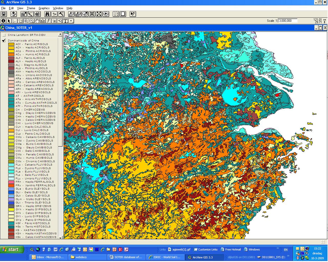
Soil and Terrain Database (SOTER) for China
The Soil and Terrain database for China primary data (version 1.0), at scale 1:1 million (SOTER_China), was compiled of enhanced soil information within the framework of the FAO's program of Land Degradation Assessment in Drylands (LADA). The primary database was compiled using the SOTER methodology. The SOTER unit delineation was based on a raster format of the soil map of China, correlated and converted to FAO’s Revised Legend (1988), in combination with a SOTER landform characterization derived from Shuttle Radar Topographic Mission (SRTM) 90 m digital elevation model (DEM). Reference profiles for the dominant soil of the SOTER units has been directly linked to the polygons.
SOTER forms a part of the ongoing activities of ISRIC, FAO and UNEP to update the world's baseline information on natural resources.The project involved collaboration with national soil institutes from the countries in the region as well as individual experts.
Simple
- Date (Publication)
- 2008-10-01
- Identifier
- 2919b1e3-6a79-4162-9d3a-e640a1dc5aef
- Presentation form
- Digital map
- Status
- Completed
- Theme
-
- calcium
- carbon
- cation exchange capacity
- electrical conductivity
- nitrogen
- organic matter
- bulk density
- soil profiles
- pH
- salinity
- texture
- water holding capacity
- nutrients
- Stratum
-
- Soil science
- Region
-
- Asia
- China
- Access constraints
- License
- Use constraints
- License
- Other constraints
- Attribution 3.0 International (CC BY 3.0)
- Spatial representation type
- Vector
- Denominator
- 1000000
- Metadata language
- English
- Character set
- UTF8
- Topic category
-
- Geoscientific information
- Begin date
- 1986-01-01
- End date
- 2008-10-01
))
- Reference system identifier
- EPSG / 4326
- Distribution format
-
-
zip
(
)
-
zip
(
)
- OnLine resource
- Download ( WWW:DOWNLOAD-1.0-ftp--download )
- OnLine resource
- Project webpage ( WWW:LINK-1.0-http--related )
- OnLine resource
- Report ( WWW:LINK-1.0-http--related )
- Hierarchy level
- Dataset
- Statement
- Dijkshoorn JA, van Engelen VWP and Huting JRM 2008. Soil and landform properties for LADA partner countries (Argentina, China, Cuba, Senegal and The Gambia, South Africa and Tunisia). ISRIC report 2008/06 and GLADA report 2008/03, ISRIC – World Soil Information and FAO, Wageningen, https://isric.org/sites/default/files/isric_report_2008_06.pdf
- File identifier
- 2919b1e3-6a79-4162-9d3a-e640a1dc5aef XML
- Metadata language
- English
- Character set
- UTF8
- Hierarchy level
- Dataset
- Hierarchy level name
- dataset
- Date stamp
- 2021-07-14T11:52:00
- Metadata standard name
- ISO 19115:2003/19139
- Metadata standard version
- 2003/Cor.1:2006
Overviews
Spatial extent
Provided by
