 ISRIC Data Hub
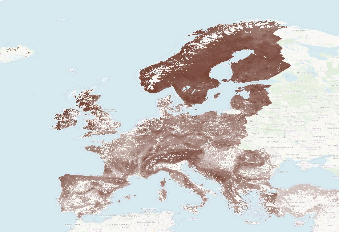
Soil property datasets produced in Holisoils project
These datasets were prepared within the scope of the Holisoils (Holistic management practices, modelling & monitoring for European Forest Soils) project (EU Horizon 2020 Grant agreement ID: 101000289). The soil property maps were generated at a resolution of 100m, and created with LUCAS and other continental level data using digital soil mapping. Users should assess the local ''predictive'' accuracy of the maps prior to using them for making recommendations at local (or field) level.
The datasets contain the following soil properties (for top soil (0-30 cm) depth): Soil organic carbon content, pH in water, Total nitrogen, Bulk density (oven dry), Coarse fragments (volumetric), Soil inorganic carbon content, Sand, Silt, Clay, as well as Soil organic carbon stocks, Soil inorganic carbon stocks and Soil nitrogen stocks.
Measurement units and web links for the above properties can be found be below. The maps are provided as Web Map Service (WMS) layers which load dynamically in a GIS software. For instructions see:
Simple
- Date (Creation)
- 2024-02-29
- Date (Publication)
- 2025-01-01
- Unique resource identifier
- https://doi.org/10.17027/isric-soilgrids/b3d7c844-cbee-4b0f-8431-3a9373f5a59a
- Status
- ongoing
- Stratum
-
- soil
- forest
- carbon
- nitrogen
- pH
- soil organic carbon content
- bulk density
- coarse fragments
- sand
- silt
- clay
- soil science
- Access constraints
- License
- Use constraints
- License
- Other constraints
- Attribution 4.0 International (CC BY 4.0), https://creativecommons.org/licenses/by/4.0/
- Spatial representation type
- Grid
- Metadata language
- en
- Character set
- UTF8
- Topic category
-
- Environment
))
- Begin date
- 2000-01-01
- End date
- 2020-12-31
- Reference system identifier
-
urn:ogc:def:crs:EPSG:4326
/
6.18.3
- Date (Publication)
- 2008-11-12
Spatial representation info
Distributor
- OnLine resource
-
soc_topsoil_030cm_mean_forest
(
OGC:WMS-1.3.0-http-get-capabilities
)
Soil organic carbon 030cm mean (dg/kg)
- OnLine resource
-
phh2o_topsoil_030cm_mean_forest
(
OGC:WMS-1.3.0-http-get-capabilities
)
pH 030cm mean (pH*10)
- OnLine resource
-
nitrogen_topsoil_030cm_mean_forest
(
OGC:WMS-1.3.0-http-get-capabilities
)
Nitrogen 030cm mean (cg/kg)
- OnLine resource
-
bdod_topsoil_030cm_mean_forest
(
OGC:WMS-1.3.0-http-get-capabilities
)
Bulk density 030cm mean (cg/cm³)
- OnLine resource
-
cfvo_topsoil_030cm_mean_forest
(
OGC:WMS-1.3.0-http-get-capabilities
)
Coarse fragments 030cm mean (cm³/dm³)
- OnLine resource
-
sic_topsoil_030cm_mean_forest
(
OGC:WMS-1.3.0-http-get-capabilities
)
sic 030cm mean (dg/kg)
- OnLine resource
-
sand_topsoil_030cm_mean_forest
(
OGC:WMS-1.3.0-http-get-capabilities
)
sand 030cm mean (g/kg)
- OnLine resource
-
silt_topsoil_030cm_mean_forest
(
OGC:WMS-1.3.0-http-get-capabilities
)
silt 030cm mean (g/kg)
- OnLine resource
-
clay_topsoil_030cm_mean_forest
(
OGC:WMS-1.3.0-http-get-capabilities
)
clay 030cm mean (g/kg)
- OnLine resource
-
ocstk_topsoil_030cm_mean_forest
(
OGC:WMS-1.3.0-http-get-capabilities
)
ocstk 030cm mean (t/ha)
- OnLine resource
-
icstk_topsoil_030cm_mean_forest
(
OGC:WMS-1.3.0-http-get-capabilities
)
icstk 030cm mean (t/ha)
- OnLine resource
-
nistk_topsoil_030cm_mean_forest
(
OGC:WMS-1.3.0-http-get-capabilities
)
nistk 030cm mean (t/ha)
- OnLine resource
- Digital Object Identifier (DOI) ( DOI )
- File identifier
- b3d7c844-cbee-4b0f-8431-3a9373f5a59a XML
- Metadata language
- en
- Character set
- UTF8
- Hierarchy level
- Dataset
- Date stamp
- 2025-02-17T14:03:28
- Metadata standard name
- ISO 19115:2003 - Geographic information - Metadata
- Metadata standard version
- ISO 19115:2003
- Dataset URI
- b3d7c844-cbee-4b0f-8431-3a9373f5a59a
Overviews
Spatial extent
Provided by
